-40%
Waypoint Geographic USA Wall Map Antique Ocean (24" x 36") - Current WG13
$ 13.2
- Description
- Size Guide
Description
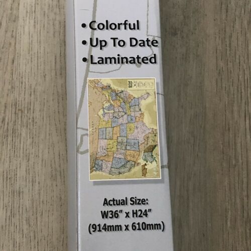
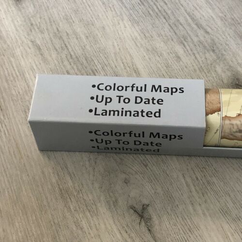
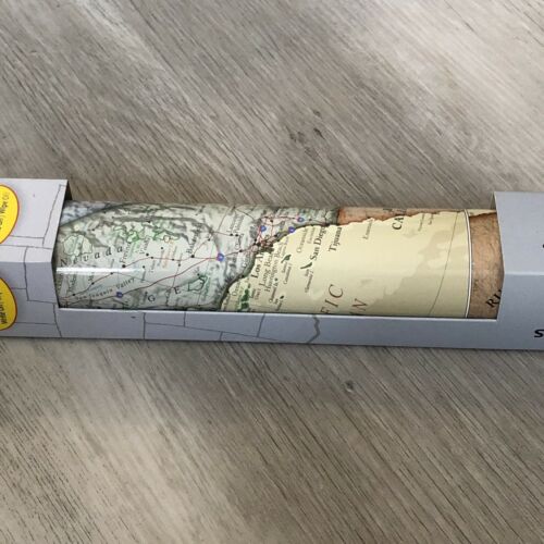
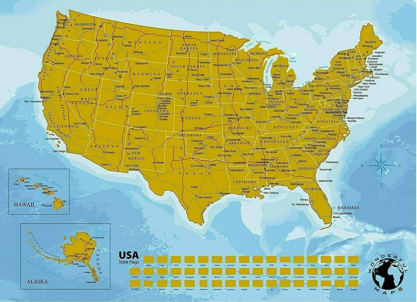
The Waypoint Geographic classic oceans laminated USA map is an excellent addition for your home, office or classroom.WHAT TYPES OF INFORMATION: In addition to well appointed state color coding, state & state boundaries, you will find thousands of Capitals & Cities, miles of U.S. Interstate Highways and many others clearly labeled for easy reading. The map also includes an easy to reference legend to assist in identifying the information you are looking at.
HOW CURRENT IS THE MAP: Waypoint Geographic updates its maps at each printing based on changes to named places, political boundaries and points of interest. Rest Assured you are receiving the latest most up to date map on the market.
LAMINATED = DUAL PURPOSE: In addition to a great reference map, the lamination on the map allows for the use of dry erase markers to highlight the areas you find of most interest.
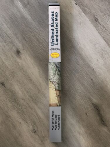
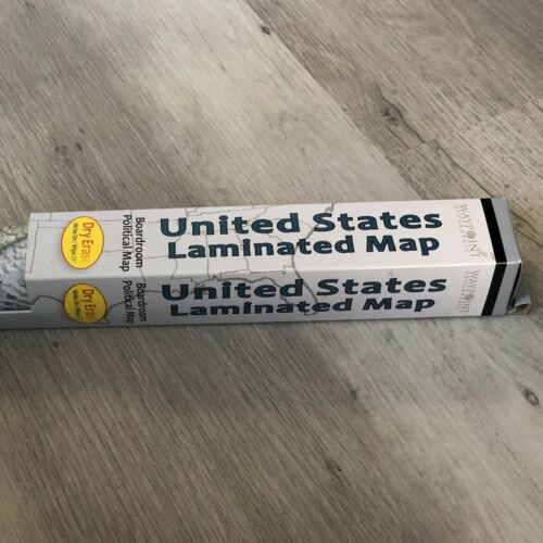
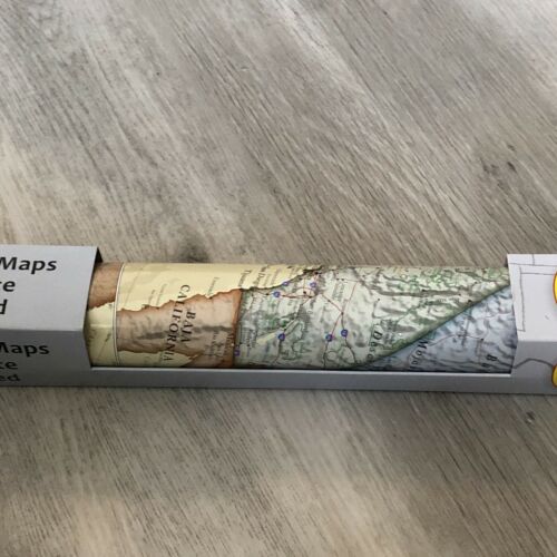
ROLLED: This map is rolled and shipped in a box. Unlike folded maps, shipping this map rolled up will protect it against creasing. No one wants to display a poster map on their wall with all those pesky creases. Once unrolled the map will be flat and ready to pin up in your desired spot.
EDUCATIONAL: At Waypoint Geographic, we are always working hard to ensure the accuracy of our products, whether a world globe or our map series. Having the best reference tool at hand can aid in teaching old and young alike the geographic makeup of the world as well as locations of events that occur each day.
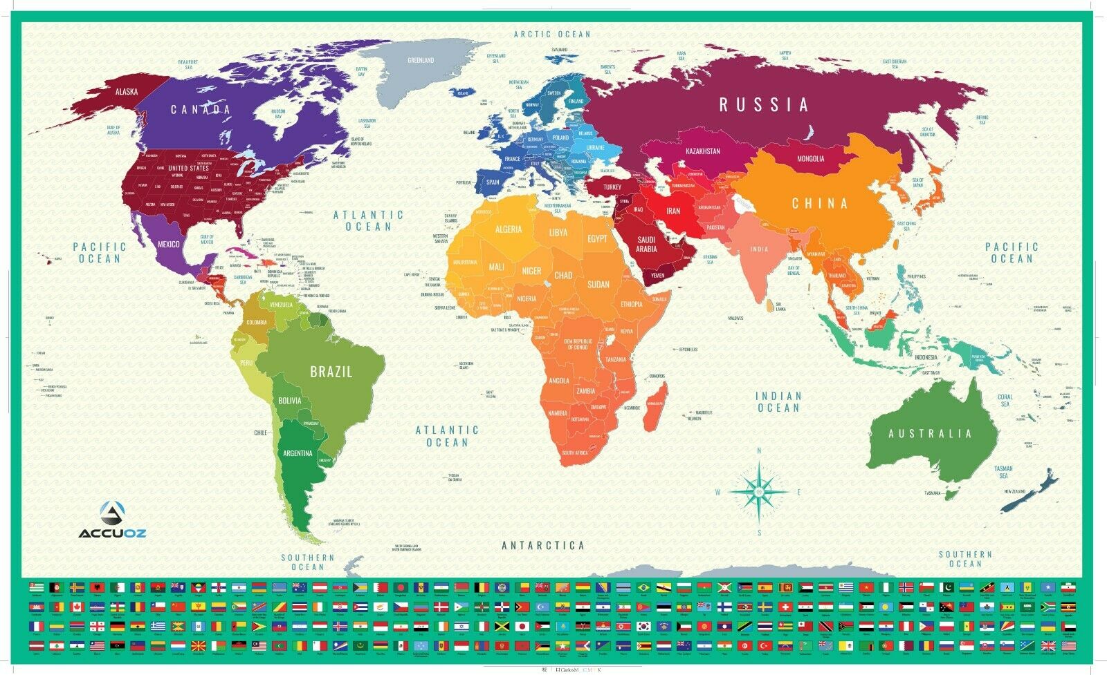
- TONS OF INFORMATION: Classic Country Color Coding, 1000's of UP-TO-DATE Named Places & Points of Interest, Capitals, Cities, Islands, Oceans and many others clearly labeled fetures for easy reading.
- HOW CURRENT IS THE MAP: Waypoint Geographic updates its maps at each printing based on changes to named places, political boundaries and points of interest. Rest Assured you are receiving the latest most up to date map on the market.
- LAMINATED = DUAL PURPOSE: In addition to a great reference map, the lamination on the map allows for the use of dry erase markers to highlight the areas you find of most interest.
- ROLLED: This map is rolled and shipped in a box. Unlike folded maps, shipping this map rolled up will protect it against creasing. No one wants to display a poster map on their wall with all those pesky creases. Once unrolled the map will be flat and ready to pin up in your desired spot.
- READY FOR USE: OVERALL SIZE: 24"H X 36"W
- TONS OF INFORMATION: Bright State Color Coding, 1000's of UP-TO-DATE Named Places & Points of Interest, Capitals, Cities, Interstate Highway System and many others clearly labeled fetures for easy reading.
- TONS OF INFORMATION: Classic State Color Coding, 1000's of UP-TO-DATE Named Places & Points of Interest, Capitals, Cities, Interstate Highway System and many others clearly labeled fetures for easy reading.
- TONS OF INFORMATION: Bright Country Color Coding, 1000's of UP-TO-DATE Named Places & Points of Interest, Capitals, Cities, Islands, Oceans and many others clearly labeled fetures for easy reading.
